Severe Weather

An aerial view of a curved coastline with sand mounds dotted through the water. Homes are visible on the spit of land in the background.

Marsh insurance
Can shoreline restoration rein in rising flood insurance prices?
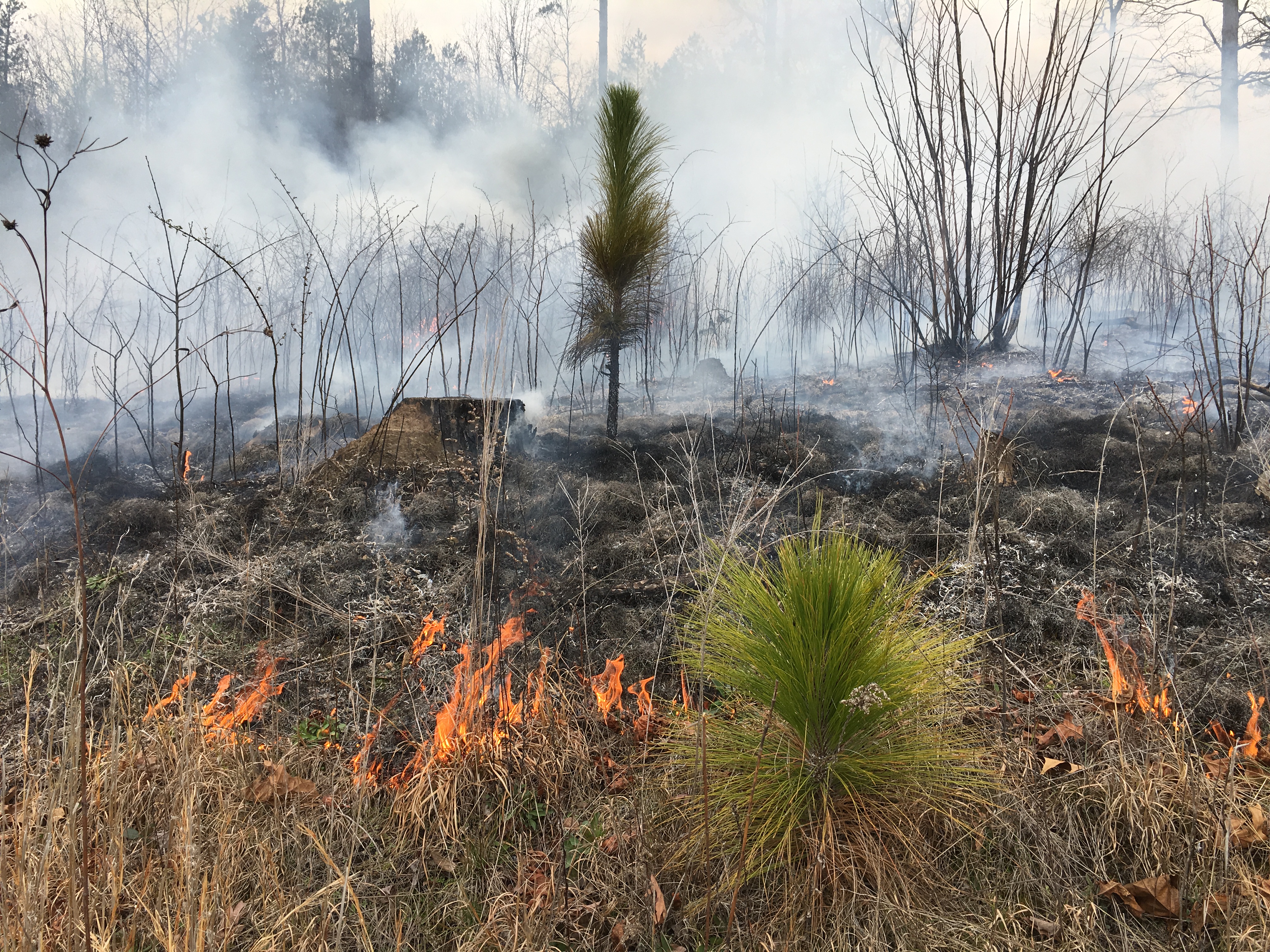
Up in smoke
Auburn researcher studies connection between forest fires, greenhouse gasses
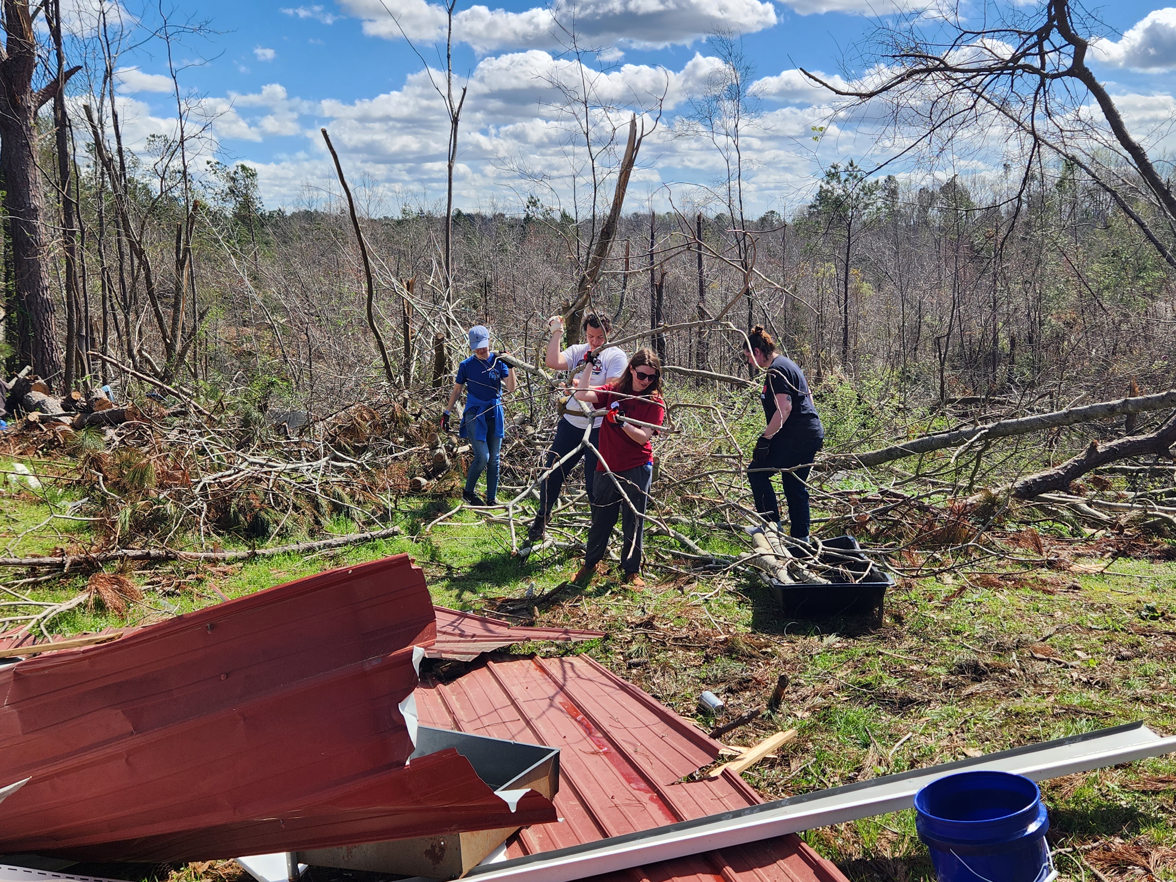
A group of four people carry fallen tree limbs from a large pile of brush. A warped and damaged sheet of metal can be partially seen in the foreground.

Come together
Small towns need funding, partnership in the face of climate disasters

The back bed of a large truck is visible on the right side of the image, with a satellite dish on the bed. It is located on the runway of a small airport. In the background, a dark storm cell is visible, including the frontline clouds and where the rain begins.

The calm before the storm
VORTEX-SE program setting new goals for tornado safety, forecasting

Water flows into a storm drain on the left side of the image. The drain is set in the curb of a street, and some grass is visible above the drain.

When it rains, it floods
FEMA assistance grant is first step in fixing persistent Birmingham stormwater issues

‘We have run out of road’
Heat, weather impacts of climate change will be felt across industries, communities

A bioswale between a road and parking lot in Birmingham.

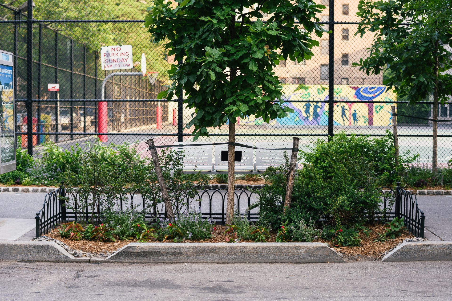
Red lines, green spaces
Historical inequities create modern “heat islands”
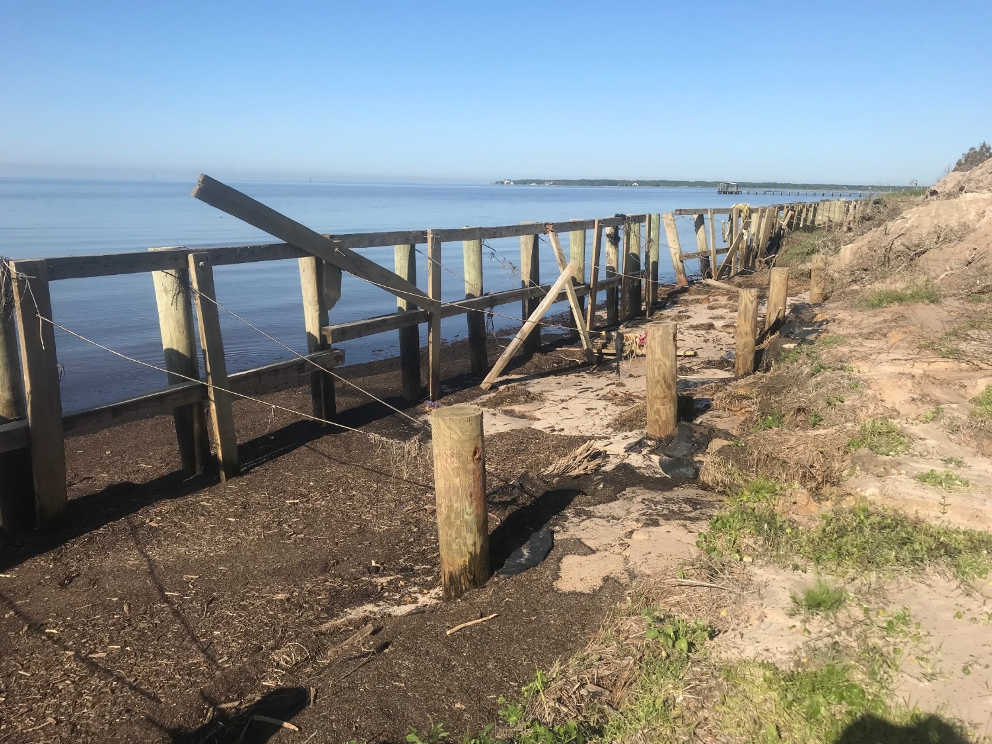
Planting protection
Living shorelines shield habitats, homes